
The Trail of Tears State Park is a 3,400-acre park with a superb preserve of an original Mississippi River landscape. It is also a sober reminder of the intolerance of a young country and a memorial to a resilient people who persevered.
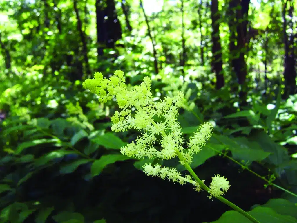
Photo by Allison Vaughn
THE VIEW FROM THE OVERLOOK is grand and serene. The Mississippi River stretches lazily north and south. Limestone bluffs three hundred feet high stand guard on the west, and bottomland farms line the eastern side of the valley. You may spot an eagle soaring over the lush green forest that cloaks the rugged hollows that extend through the bluffs to the river.
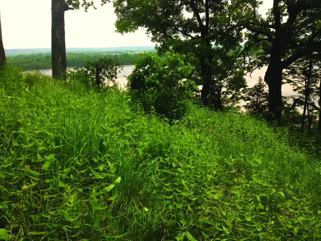
Photo by Ron Colatskie
Regardless of the peaceful vision this sublime view may evoke, it once overlooked one of the sorriest episodes in American history. That infamy gives Trail of Tears State Park its name. Here at Moccasin Springs in the fall and winter of 1838 and 1839, nine contingents of Cherokee were ferried across the icy Mississippi River, a formidable obstacle on the forced march from their Appalachian homeland to a new home in what is today Oklahoma. American Indian tribes subjected to removal crossed the river at a number of different points, including the one here. Many died during that harsh winter, and some are thought to be buried in and around the park.
The park’s extensive forests, despite some early logging, resemble the great woods of the Cherokee homeland. Trail of Tears State Park preserves Missouri’s best sizable example of what botanists call “western mesophytic” forest. Mesophytic refers to the relative moisture in the soil. Here on the deeper, richer soils protected in the cove ravines along the river, growing conditions mirror those of the Appalachian Mountains to the east.
In comparison to much of the Ozarks, the park features trees of greater size and variety. Oaks abound, but they join many typically Eastern species such as tulip poplar, cucumber magnolia, and American beech. The ground cover is luxuriant with ferns. You may find the rare pennywort, a delicate plant that flowers early in the spring, or see beechdrops, parasitic plants found only near beech trees. The state has set aside a particularly outstanding example of this river-break landscape as Vancill Hollow Natural Area, 300 acres in the middle of the park.
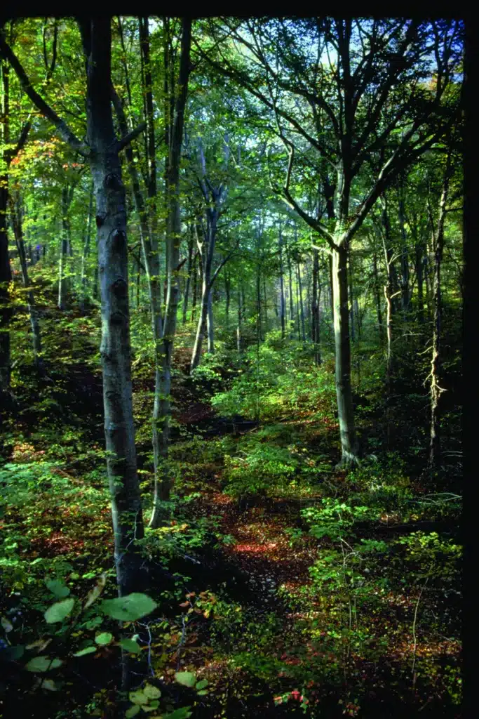
Photo by Tom Nagel
You can find solitude and ample recreation on the nine-mile Peewah Trail in the 1,300-acre Indian Creek Wild Area north of Vancill Hollow and the overlook drive. The steep and rugged hollows of the wild area empty into Indian Creek along the park’s northern boundary. The bottomlands of Indian Creek, once cleared for crops, are now jungle-like, featuring patches of giant cane and a profusion of grapevines dangling from large sweetgums and black willows. On the slopes in the labyrinth of hollows are a mature forest of black gum, white oak, bitternut hickory, tulip poplar, sassafras, and deciduous holly. The ridges above the creek, more readily accessible by trail, contain woodlands of post oak, blackjack oak, and shortleaf pine, which park managers have been treating with prescribed fire. The park has been designated an Important Bird Area for its key role in providing habitat for forest birds along the Mississippi flyway.
Perhaps the Cherokee viewed this rugged terrain and dense forest with longing, as it resembled the homeland they were forced to leave. The story of their removal began in 1829 when President Andrew Jackson, responding to pressure from the state of Georgia where gold had just been discovered on Cherokee land, asked Congress for legislation to remove the southern tribes to lands west of the Mississippi. Congress responded a year later with the Indian Removal Act. It is clear that “Old
Hickory” strongly believed that American Indians could not be assimilated into the white culture that was bursting the seams of the already settled areas. The irony is that the Cherokee and the other members of the so-called Five Civilized Tribes had already demonstrated a willingness to interact with white culture and to live in peace. Most of the Cherokee leaders could read and write English, and thousands of Cherokee had learned to read and write in their own language since the development of a syllabary a decade earlier by the remarkable Cherokee statesman Sequoyah. The Cherokee lived in houses, had adopted the practice of owning slaves, and farmed. Additionally, acculturation had been furthered by considerable intermarriage of white traders and frontiersmen with native women. Nevertheless, enticed by the potential economic boon of gold mining, Congress dictated that the Cherokee had to go.
Removal did not occur right away, however. Although some Cherokee tribal leaders actually favored relocation and signed Jackson’s Treaty of New Echota, Principal Chief John Ross and most of the other chiefs representing over sixteen thousand Cherokee resisted federal and state efforts to remove them. The Cherokee brought legal action and eventually obtained a favorable ruling by the US Supreme Court. However, this only prompted Jackson to move faster. In the spring of 1838, a force of four thousand troops under Gen. Winfield Scott rounded up the remaining Cherokee and placed them in primitive, unsanitary military stockades, awaiting a break in the worst drought ever recorded in the region; more than fifteen hundred died of cholera and measles during confinement. Many others were ill when the forced migration began that fall. Divided into seventeen detachments of about a thousand each, the exodus proceeded across Tennessee, Kentucky, and Illinois.
From the Mississippi, the Cherokee took several routes across Missouri, some of which have been marked as part of the Trail of Tears National Historic Trail, established in 1987. The main route apparently took them through the county seat of Jackson (named for the president who had forced their removal) and then northwest through Farmington, Caledonia, Steelville, and St. James, where the path turned southwest to Waynesville and Springfield and then across the corner of Arkansas to reservations in Oklahoma. One of every four Cherokee died in the stockades or during the forced migration. The remainder arrived a broken and politically divided people. In spite of everything, the Cherokee built a remarkable society in their new homeland and continue to survive as a nation within a nation.
Trail of Tears State Park was a gift to the state by the people of Cape Girardeau County, who authorized a $150,000 bond to purchase more than 3,000 acres in 1956. A handsome visitor center provides exhibits on the natural history of the park and on the Cherokee tragedy. The 3,400-acre park is a superb preserve of an original Mississippi River landscape. It is also a sober reminder of the intolerance of a young country and a memorial to a resilient people who persevered.
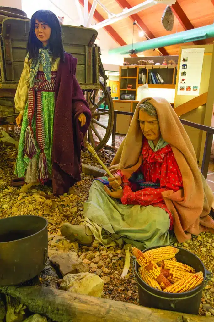
Photo by Missouri State Parks
THE BUSHYHEAD MEMORIAL
Ice held up a group of Cherokee led by Rev. Jesse Bushyhead, a charismatic Baptist preacher, at the Mississippi River for more than a month. According to legend, his daughter Otahki died, and his wife gave birth to a baby, Eliza Missouri. Otahki was said to have been buried on a knoll above the encampment at Moccasin Springs. Wishing to commemorate the tragedy of the Cherokee, the Cape Girardeau Rotary Club in 1961 erected a monument to “Princess Otahki” and the many others who died at the river crossing.
Later research suggests that there never was an Otahki and that the person buried here is likely Bushyhead’s sister, Nancy Bushyhead Walker Hilderbrand, who was listed in an 1835 census of the Cherokee Nation as owner of a farm worth $760 in Candy’s Creek, Tennessee. Her first husband was John Walker Jr., a man with mixed heritage, who had met with President Andrew Jackson and was assassinated in 1834 for his role as a treaty advocate; he thought removal was inevitable and wanted the best deal. Nancy’s second husband was Lewis Hilderbrand, who was selected to deliver a petition to Washington protesting the removal treaty and signed by nearly sixteen thousand Cherokee. He later led one of the detachments on the Trail of Tears.
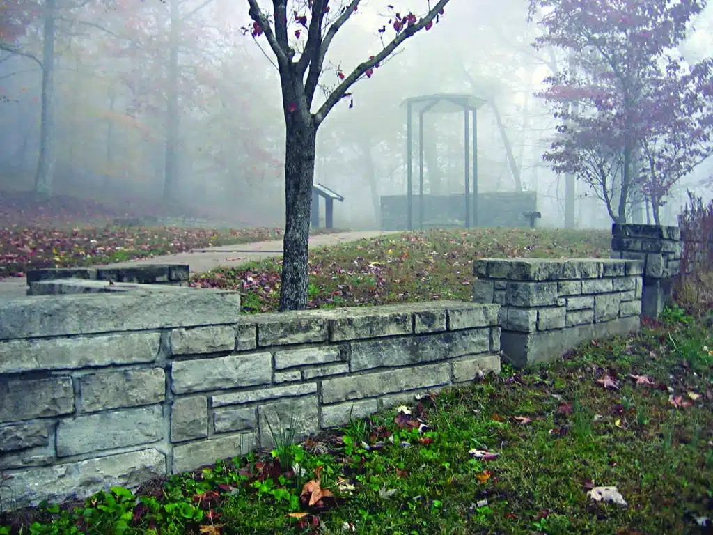
Photo by S. Denise Dowling
Nancy and John had two children before he died, and both reached the new territory without their mother. Years later, one of them told a Cherokee historian that his mother had died on the trail in Missouri. Reverend Bushyhead’s infant daughter Eliza Missouri also made it to Indian Territory and became a prominent educator and businesswoman until her death at age eighty-one.
The Princess Otahki monument at the park was renamed the Bushyhead Memorial in 2001.

TRAIL OF TEARS STATE PARK • 429 MOCCASIN SPRINGS ROAD, JACKSON
Order Missouri State Parks and Historic Sites book here.
Read about seven more state parks including more information on the Trail of Tears State Park here.
Related Posts


Get Out and See Big Oak State Park
You have got to see these trees. Big Oak Tree State Park is home to one national champion, a pumpkin ash, and three state champion trees, overcup oak, sweetgum, and persimmon. The ancient cypress are awe inspiring. The park is also a bird watchers dream with more than 150 known species chirping from the trees.

Get Out and Enjoy the Katy Trail State Park!
What was once the MKT (Missouri-Kansas-Texas) railroad,The Katy Trail State Park has so much to explore on foot, by bike, or on some stretches, horseback. The trail runs 240 miles over 14 counties. Get out and see the state in a whole new way.