
Standing at the confluence of the Missouri and Mississippi Rivers will take your breath away. The power of these two rivers coming together is unmistakable. You can go down the walkway and plant one foot in the Missouri and one foot in the Mississippi River.

Photo by Paul Jackson
THE FRENCH EXPLORER Father Pierre Francois Xavier de Charlevoix captured the essence of the place in 1721: “I believe this is the finest confluence in the world. The two rivers are much the same breadth, each about half a league: but the Missouri is by far the most rapid, and seems to enter the Mississippi like a conqueror, through which it carries its white waters to the opposite shore without mixing them; afterwards, it gives its color to the Mississippi which it never loses again but carries quite down to the sea.” Of course, Father Charlevoix is describing the two rivers themselves, not the surrounding land. The early explorers of this area didn’t care much about the land at the confluence, preferring instead to conduct their explorations by canoe on the river highways.
Perhaps the first person to give serious consideration to the land around the confluence would have been Capt. Don Francesco Rui y Morales. In 1767 after France ceded Louisiana to Spain, the royal Spanish governor in New Orleans sent Rui and a crew of soldiers and laborers to build two forts, one on each side of the mouth of the Missouri River, to deny the British any opportunity to ascend that stream. In New Orleans this looked good on paper, but when Captain Rui arrived at the confluence, he found that the north bank at the mouth was under nine feet of water. What was obvious to the Europeans—and later, Americans—on the scene was that the considerable plain surrounding the confluence in every direction was one large wetland, nearly all of which went under water almost every year.

The park is named in honor of Edward “Ted” Jones and his wife Pat, who donated funds for the establishment of Katy Trail State Park.
The Edward “Ted” and Pat Jones–Confluence Point State Park was dedicated on Sunday, May 9, 2004, with a replica pirogue and Lewis and Clark expedition reenactors present for the event. This was most appropriate, as that great Voyage of Discovery began here at the confluence on May 14, 1804.
Park naturalists have undertaken significant restoration activities since the park’s opening in 2004, and the land has begun to more closely resemble descriptions contained in historical accounts. With only a dozen feet of vertical relief and roughly ten different soil types, restoration means re-creation of diverse habitats ranging from sandbars and mudflats to bottomland forest, prairie, marsh, and shrub swamp.
The ultimate goal for the park is the reestablishment of more natural floodplain function including native vegetation and natural wetlands, which will allow visitors to experience something of what early explorers saw when encountering the area.

On the actual rocky point where the two greatest rivers on the continent join together, you can walk out to the point and plant one foot in the Missouri and one in the Mississippi River. But you can also ponder the meeting of these waters and their roles in the exploration and development of the nation. If you are lucky, you may see pelicans wheeling and spiraling above the point, trumpeter swans migrating up or downriver, or a bald eagle standing sentinel in a nearby tree. State parks are often landmarks, and it would be difficult to imagine a single geographic point with more meaning than this place.

The park has such low elevation that flooding can be expected for at least thirty consecutive days every ten years.
This park offers fishing, hiking and picnic areas.

Edward “Ted”and Pat Jones – Confluence Point State Park
1000 Riverlands Way, West Alton
1,121 acres
St. Charles County
Trail
• Confluence Point Trail (.3 mi)
Read more about Edward “Ted” and Pat Jones and the Katy Trail here.
Order Missouri State Parks and Historic Sites book here.
Order Missouri State Parks Special Edition here.
Related Posts
Castlewood State Park
Castlewood State Park has more than thirty miles of hiking and biking trails, eleven of which are open to horseback riders. Experience the feel of a mature floodplain forest with its silver maple, box elder, black willow, white ash, sycamore, slippery elm, and hackberry. Bring a picnic and enjoy the beauty of this park.
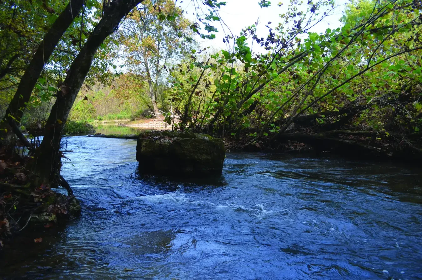
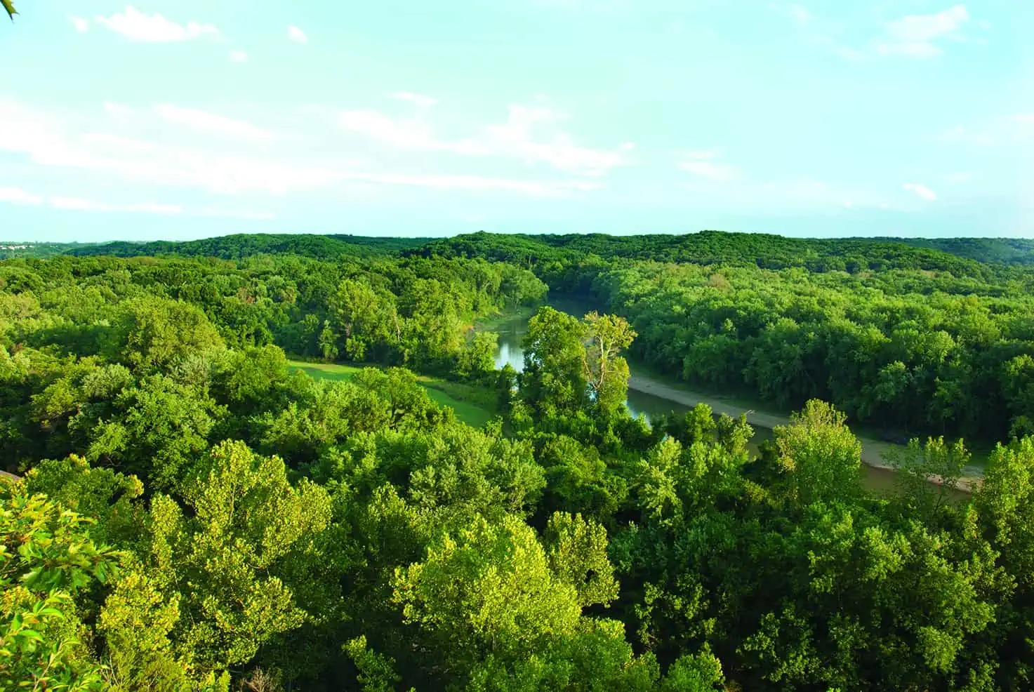
Visit the Serene Bryant Creek State Park
Bryant Creek State Park is more than 2,900 acres of pristine forests, rippling waters, and backcountry trails. See trees that may be up to three hundred years old. Set up camp on a gravel bar and do some fishing. Get back to nature at this stunning state park.
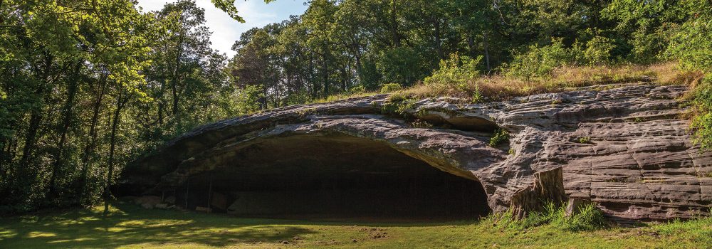
Hiking Graham Cave State Park
Head over to Graham Cave State Park to walk in the footsteps of early Missourians.