
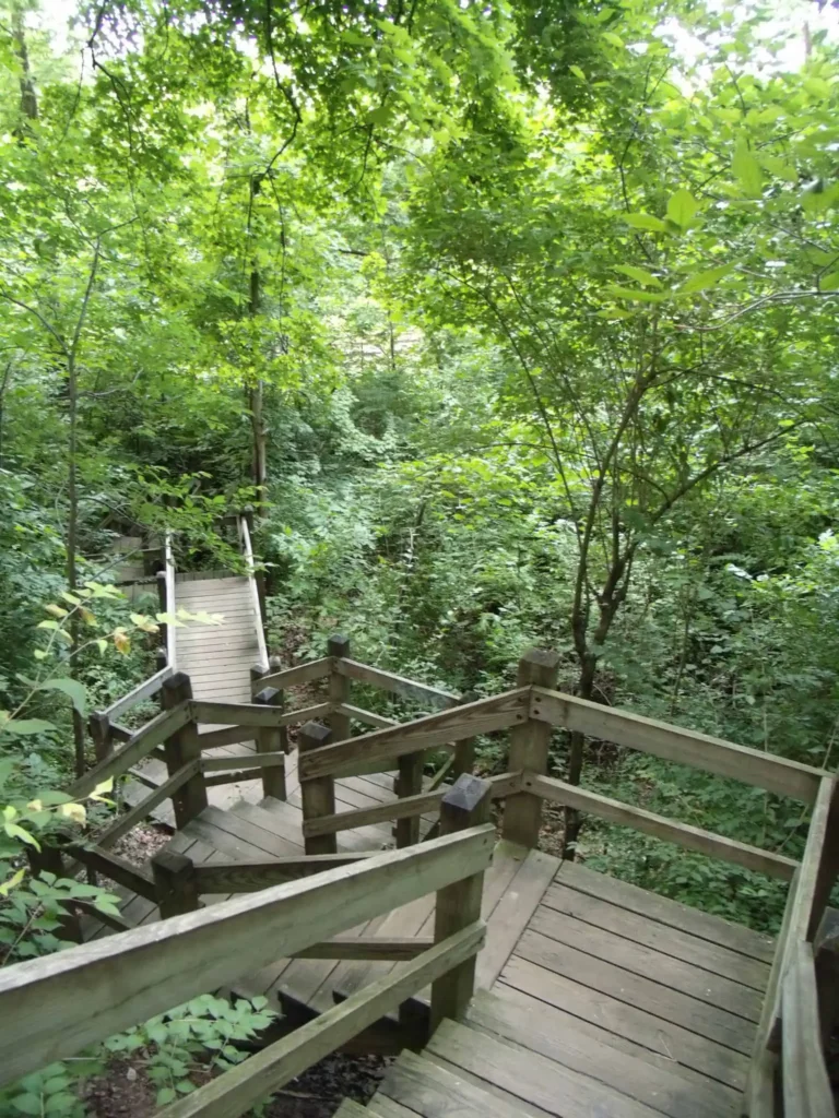
Castlewood State Park has more than thirty miles of hiking and biking trails, eleven of which are open to horseback riders. Experience the feel of a mature floodplain forest with its silver maple, box elder, black willow, white ash, sycamore, slippery elm, and hackberry. Bring a picnic and enjoy the beauty of this park.
ST. LOUISANS FLOCKED by the thousands to the Castlewood area from 1915 to about 1940 for weekends of canoeing, swimming, dancing, partying, and some gambling. After World War II, many of the hotels and clubhouses declined, and the natural beauty and recreational value of the lower Meramec River went unappreciated as the area became a kind of industrial dumping ground.
Today much of the dormant potential of the river has been rediscovered. In 1975 Gov. Christopher Bond announced a plan to coordinate the recovery of more than a hundred miles of the lower Meramec River. The centerpiece of this effort was and is Castlewood State Park, which offers more than thirty miles of hiking and biking trails, eleven of which are open to horseback riders.
A hike along the River Scene Trail leads one atop the white cherty limestone bluffs where a truly majestic view awaits. Look south across the river’s floodplain into the wooded alcoves of Tyson Valley, upstream as the bluffs arc to the southwest or down stream as far as Fenton.
Across the river some 250 feet below—now grown up in willows—is the old Lincoln Beach, a sandy by-product of the Union Sand and Gravel Company’s gravel-mining activity in the river upstream.
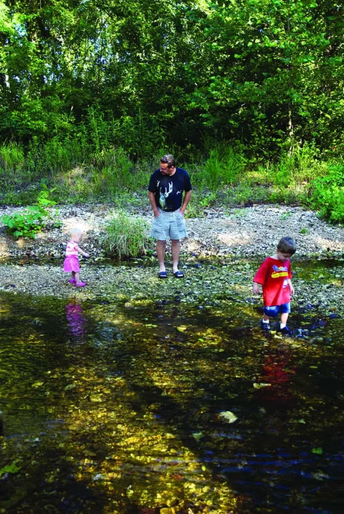
Photo by Scott Myers
On the south side of the river near the old community site of Morschels is a stand of native bottomland forest. Most such stands were long ago cleared away for agriculture or industry, but here at Castlewood, the visitor can still experience the feel of a mature floodplain forest with its silver maple, box elder, black willow, white ash, sycamore, slippery elm, and hackberry. By contrast, as you enter the park via Ries Road from the north, a beautiful drive along Kiefer Creek’s canyon-like descent, you pass through the more typical upland forest of the eastern Ozark Border, dominated by white oak, northern red oak, and shagbark hickory. If it is spring, the floral displays of the redbud and dogwood will highlight your drive.
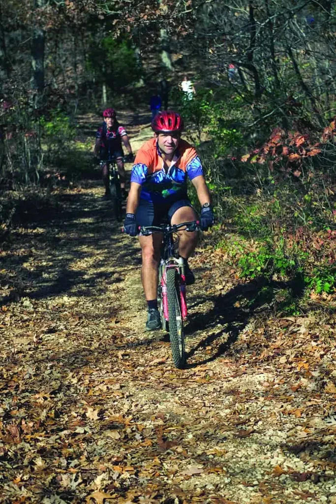
Photo Courtesy ofMissouri State Parks
The Kiefer Creek Watershed Restoration Project has been a success story, and today it’s inviting for play on a hot summer day. The legacy of grand weekend recreation that once defined Castlewood State Park is still alive and well here, and the park has also become a testament to environmental stewardship.
The park contributes greatly to the goal of establishing a greenbelt along more than 100 miles of the lower Meramec River, with public and private recreation facilities and interconnecting trail systems.
Castlewood State Park offers fishing, hiking, biking, horseback riding, a picnic area, and a playground.

Castlewood State Park
1401 Kiefer Creek Rd, Ballwin
1,818 acres
St. Louis County
Trails • Al Foster Trail (4.7 mi) • Castlewood Loop (2.75 mi) • Cedar Bluff Loop (2.25 mi) • Chubb Trail (6.5 mi) • Grotpeter Trail (3.75 mi) • Lone Wolf Trail (1.5 mi) • River Scene Trail (3.25 mi) • Stinging Nettle Trail (2.5 mi)
Order Missouri State Parks and Historic Sites book here.
Order Missouri State Parks Special Edition here.
Read more about hiking and biking trails in Missouri here.
Related Posts

Get Out and See Big Oak State Park
You have got to see these trees. Big Oak Tree State Park is home to one national champion, a pumpkin ash, and three state champion trees, overcup oak, sweetgum, and persimmon. The ancient cypress are awe inspiring. The park is also a bird watchers dream with more than 150 known species chirping from the trees.

A True Gem of a State Park
Dedicated in 1938, this gem of a state park now sits amid an expanding suburban landscape and is worthy of a visit any time of year. There are twenty-two CCC-era structures to visit, rocky hills to hike, and massive trees to stop and rest under.
Hiking Graham Cave State Park
Head over to Graham Cave State Park to walk in the footsteps of early Missourians.